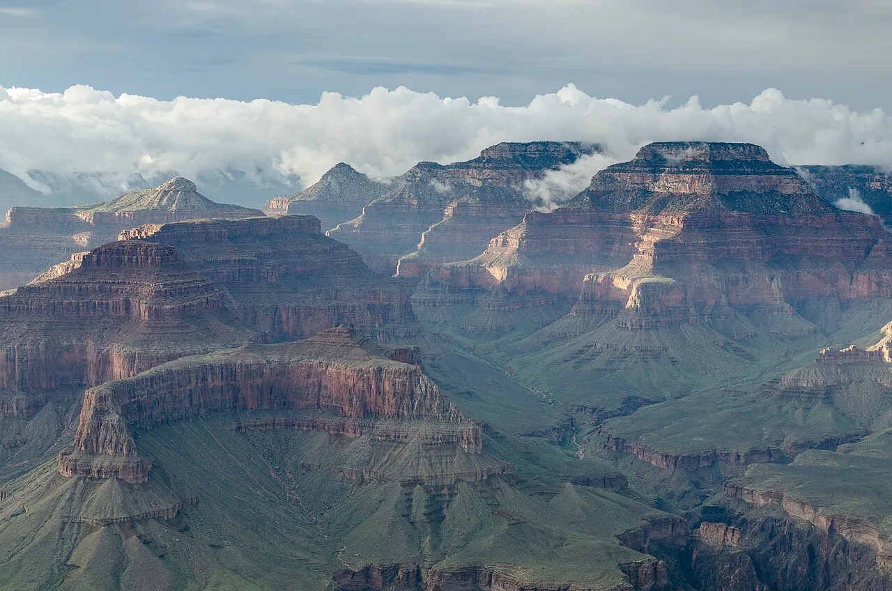
 01A very different sense of scale
Grand Canyon
A river's work, a continent's story. The Colorado River carved a canyon whose exposed rocks preserve nearly two billion years of Earth's history.
Read the rocksA field guide to the 48th state
Ancient canyons. Wide-open skies. Stories that run deeper than the Colorado. Meet the Arizona beyond the postcard.
Find your Arizona
01 / The landscapes
Not just desert. Pine forests, red-rock country, and landscapes measured in millions of years. Pick a direction. Get curious.
01A very different sense of scale
A river's work, a continent's story. The Colorado River carved a canyon whose exposed rocks preserve nearly two billion years of Earth's history.
Read the rocks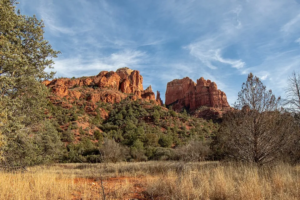 02Red rock. Blue sky. Deep breath.
Sandstone buttes rise above juniper and oak. Along Oak Creek, riparian habitat reveals a greener side of Arizona's high desert.
Explore the red rocks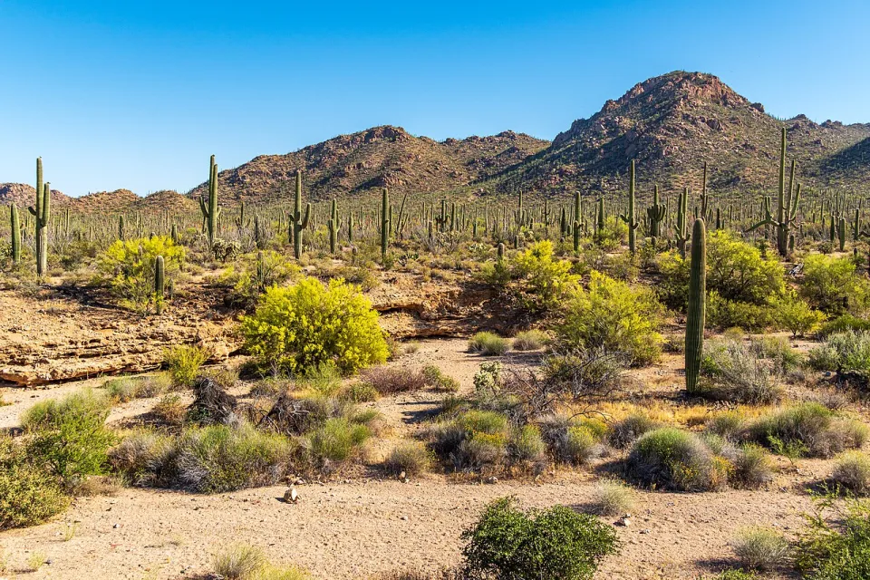 03Meet the desert's quiet giants
Outside Tucson, the Sonoran Desert's signature cactus grows on its own slow clock. A first arm may take 50 to 70 years to appear.
Get to know the saguaro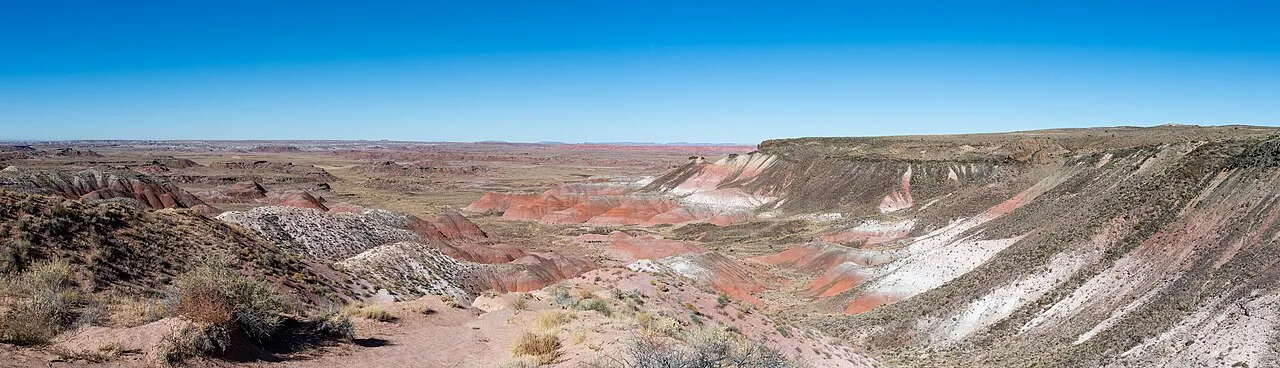 04An ancient world, in full color
Mineral-rich fossil wood and Painted Desert badlands tell a Triassic story more than 200 million years old. Leave every piece where it belongs.
Travel into deep time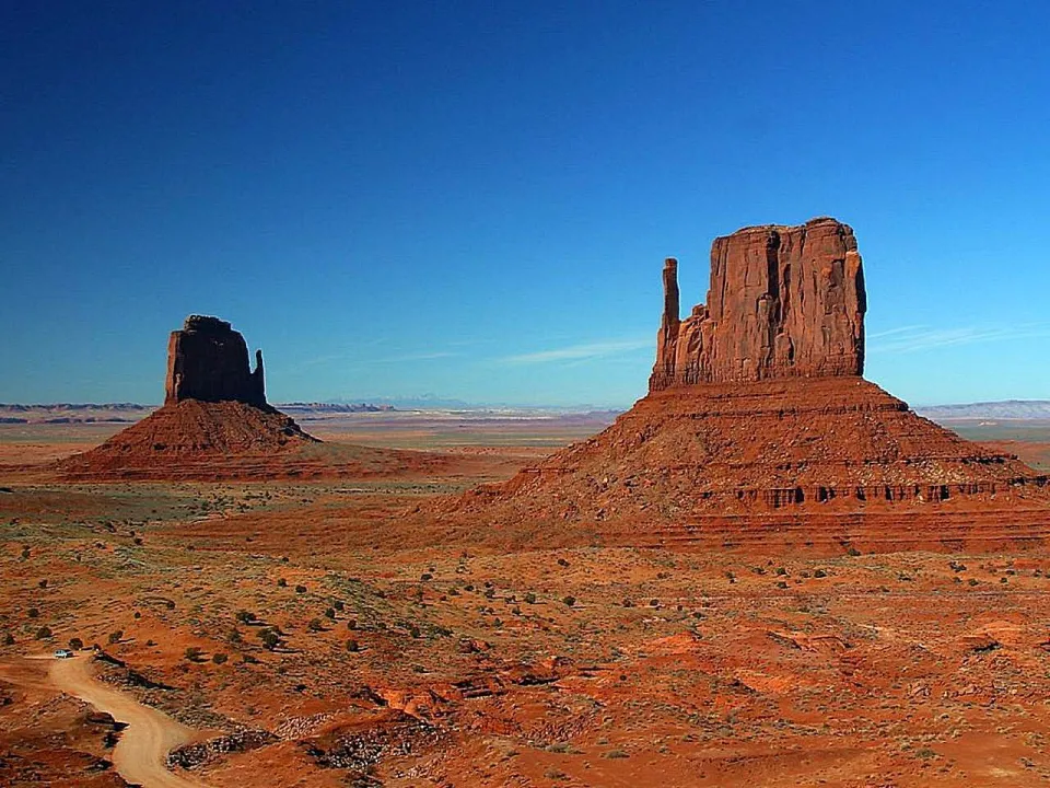 05A homeland, not just a horizon
These sandstone formations stand within the Navajo Nation, a living Diné homeland. Learn from Navajo guides and follow Tribal access and photography rules.
Visit with respect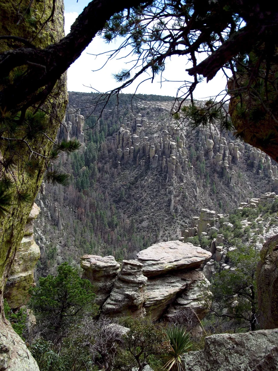 06Where stone finds its balance
Volcanic eruptions laid the foundation; weathering sculpted the pinnacles. This southeastern “sky island” connects desert grasslands with mountain forests.
Discover a stone wonderlandBe a good guest. Check official conditions, carry water, respect closures, and leave cultural objects and natural features untouched. Photo credits & reuse licenses ↗
02 / The story
Arizona became a state in 1912. Its human story reaches back thousands of years—and it didn't begin with a border.
This is a starting point, not the whole story. Explore the sources, listen to Tribal voices, and keep asking questions.
Follow the sourcesIndigenous peoples built communities, trade networks, and sophisticated farming systems long before European arrival. Arizona is home to 22 federally recognized Tribes today, each with its own government, history, and traditions.
Arizona Commission of Indian Affairs ↗Spanish expeditions entered the region in the 1500s. Missions and colonial settlements followed, bringing exchanges, coercion, conflict, and resistance. The region became part of Mexico after independence from Spain in 1821.
Tumacácori's histories ↗The Treaty of Guadalupe Hidalgo in 1848 and the Gadsden Purchase in 1854 brought what is now Arizona under U.S. control. Congress created Arizona Territory in 1863. These changes did not erase Indigenous homelands or sovereignty; U.S. expansion also brought warfare and forced displacement.
Arizona State Library almanac ↗President William Howard Taft signed the proclamation admitting Arizona as the 48th state—the last of the contiguous states to join the Union. Statehood did not mean equal voting access for everyone: Arizona's Native residents continued to face legal barriers until a landmark state court decision in 1948.
Statehood and Arizona history ↗Tribal Nations, border communities, growing cities, and rural towns shape contemporary Arizona. Water, conservation, and growth remain central to how people imagine its future.
Arizona Department of Water Resources ↗03 / The spirit
Arizona is a place people call home. Get to know the food, creativity, and everyday ingenuity that give it its character.
At the table
Sonoran wheat tortillas, tepary beans, chiles, and desert ingredients reflect distinct Indigenous, Mexican, and other culinary traditions. Tucson became the first U.S. UNESCO City of Gastronomy in 2015.
A taste of TucsonLiving traditions
From basketry and weaving to contemporary painting and film, Native artists create on their own terms. Learn who made a work, buy from artists or reputable sellers, and respect restrictions around ceremonies.
Explore the Heard MuseumAfter sunset
Arizona's relationship with the sky extends from long-standing Indigenous knowledge to modern astronomy. In 2001, Flagstaff became the world's first International Dark Sky City.
Find the darker sideA little discovery / Field note 01
Most of Arizona stays on Mountain Standard Time year-round. The Navajo Nation observes daylight saving time; the Hopi Reservation does not.
Source: U.S. Department of TransportationStay curious
This independent guide is an invitation to learn, not the final word. Start with the people and institutions who know these places best.
Through their lens
Photographs sourced from Wikimedia Commons, downloaded as resized copies and converted to WebP. Images are cropped to fit the layout. Each photo retains its own license; ShareAlike photos and their adaptations remain available under the linked license.


